 JOGLP
Part of the route John o' Groats → Lizard Point
John o' Groats Trail
John o' Groats → Inverness
- Length
- 226km
- typical days
- 8–13
- Ascent
- 2,627m ↑
- Wild camping
- yes
- longest stretch without a shop
- 34km
Elevation profile
Suggested stages
- 1John o' Groats → Milltownkm 0.0–18.118.1km · 248 m ↑
Place Milltown
- 2Milltown → Wickkm 18.1–34.616.5km · 55 m ↑
Campsite Wick River Campsite
- 3Wick → Bruankm 34.6–53.018.4km · 332 m ↑
Place Bruan
- 4Bruan → Latheronwheelkm 53.0–72.519.5km · 321 m ↑
Campsite Wildcamp latheronwheel
- 5Latheronwheel → Berriedalekm 72.5–87.815.3km · 354 m ↑
Place Berriedale
- 6Berriedale → Portgowerkm 87.8–106.118.3km · 478 m ↑
Hostel Helmsdale Hostel
- 7Portgower → Dollkm 106.1–125.419.3km · 43 m ↑
Place Doll
- 8Doll → Cambusaviekm 125.4–143.518.1km · 51 m ↑
Place Cambusavie
- 9Cambusavie → Cuthillkm 143.5–163.019.5km · 33 m ↑
Campsite Dornoch Firth Caravan Park
- 10Cuthill → Rhicullenkm 163.0–182.819.8km · 271 m ↑
Place Rhicullen
- 11Rhicullen → Findon Mainskm 182.8–202.920.1km · 86 m ↑
Place Findon Mains
- 12Findon Mains → Craigtonkm 202.9–220.017.1km · 323 m ↑
Campsite Kessock Caravan Park
- 13Craigton → Invernesskm 220.0–226.26.2km · 32 m ↑
Hostel Bazpackers Hostel
- 1John o' Groats → Keisskm 0.0–22.922.9km · 269 m ↑
Place Keiss
- 2Keiss → Ulbsterkm 22.9–49.326.4km · 255 m ↑
Place Ulbster
- 3Ulbster → Latheronwheelkm 49.3–72.523.2km · 432 m ↑
Campsite Wildcamp latheronwheel
- 4Latheronwheel → Ousdalekm 72.5–95.422.9km · 675 m ↑
Place Ousdale
- 5Ousdale → Glashbuiekm 95.4–120.124.7km · 182 m ↑
Place Glashbuie
- 6Glashbuie → Balvraidkm 120.1–144.023.9km · 69 m ↑
Place Balvraid
- 7Balvraid → Tainkm 144.0–167.423.4km · 81 m ↑
Place Tain
- 8Tain → Evantonkm 167.4–194.627.2km · 271 m ↑
Campsite Black Rock Holiday Park
- 9Evanton → Drumsmittalkm 194.6–217.222.6km · 327 m ↑
Campsite Kessock Caravan Park
- 10Drumsmittal → Invernesskm 217.2–226.29.0km · 66 m ↑
Hostel Bazpackers Hostel
- 1John o' Groats → Wickkm 0.0–34.634.6km · 303 m ↑
Campsite Wick River Campsite
- 2Wick → Burrigillkm 34.6–66.832.2km · 540 m ↑
Place Burrigill
- 3Burrigill → Helmsdalekm 66.8–98.832.0km · 906 m ↑
Hostel Helmsdale Hostel
- 4Helmsdale → Golspiekm 98.8–133.034.2km · 90 m ↑
Place Golspie
- 5Golspie → Cuthillkm 133.0–163.030.0km · 76 m ↑
Campsite Dornoch Firth Caravan Park
- 6Cuthill → Evantonkm 163.0–194.631.6km · 319 m ↑
Campsite Black Rock Holiday Park
- 7Evanton → Invernesskm 194.6–226.231.6km · 393 m ↑
Hostel Bazpackers Hostel
Camping & accommodation
In Scotland, wild camping is allowed under the Scottish Outdoor Access Code – be considerate and leave no trace.
Shops & water
km 0–34: no shop for 34 km – carry enough food.
km 36–63: no shop for 28 km – carry enough food.
km 77–103: no shop for 25 km – carry enough food.
Data © OpenStreetMap contributors, as of November 2026 – check locally.
Caution
Bus Ardgay → Alness · on foot instead of train/bus: 47.8 km
Weather & when to go
Our weather on these days (model values, example)
| Day | Temperature | Rain | Wind | |
|---|---|---|---|---|
| 30 Jun | rain | 11–21 °C | 21.1 mm | 21 km/h |
| 1 Jul | rain | 9–15 °C | 5.9 mm | 16 km/h |
| 2 Jul | rain | 10–15 °C | 11.1 mm | 11 km/h |
| 3 Jul | light rain | 8–15 °C | 4.3 mm | 23 km/h |
| 4 Jul | light rain | 12–17 °C | 10.6 mm | 22 km/h |
| 5 Jul | light drizzle | 13–16 °C | 0.4 mm | 28 km/h |
| 6 Jul | dense drizzle | 10–17 °C | 5.5 mm | 12 km/h |
Day by day
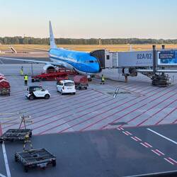 John o' Groats → Skirza HeadDay 1 · 10.2 km · 157 m ↑
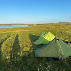 Skirza Head → HempriggsDay 2 · 29.4 km · 198 m ↑
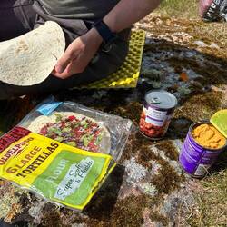 Hempriggs → BurrigillDay 3 · 27.2 km · 478 m ↑
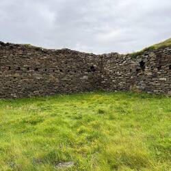 Burrigill → HelmsdaleDay 4 · 33.3 km · 933 m ↑
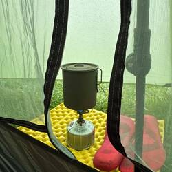 Helmsdale → GolspieDay 5 · 32.6 km · 113 m ↑
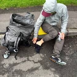 Golspie → CambusmoreDay 6 · 10.0 km · 40 m ↑
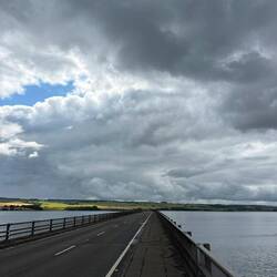 Alness → MillburnDay 7 · 37.5 km · 430 m ↑